
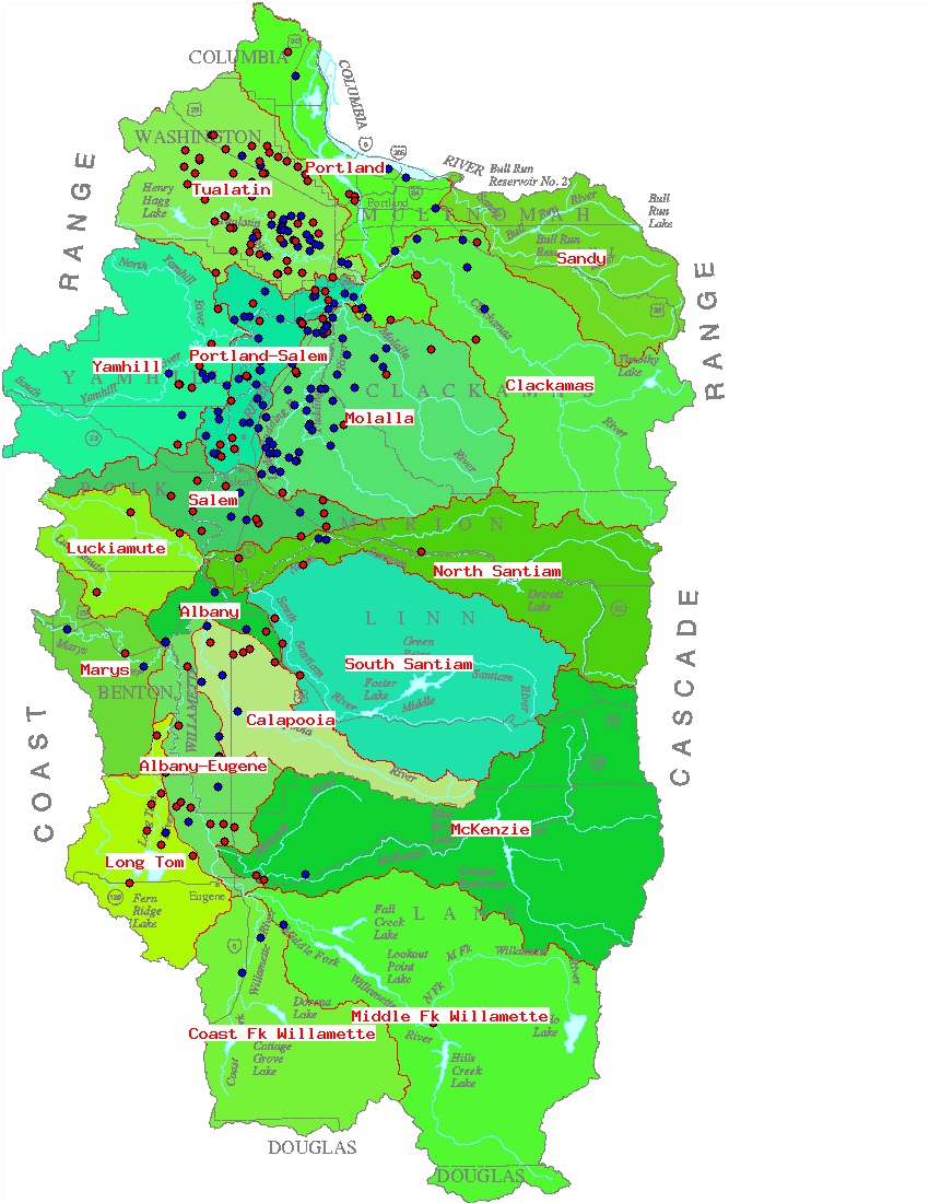
Users of this Website can view hydrographs of water-level data from wells located throughout the Willamette Basin, as well as tables of the measurements used to construct the hydrographs.
1. Begin by clicking on the name of a basin below to bring up a map of wells in that basin.
2. Then, by clicking on the well symbol of a well, you can view a period-of-record water-level hydrograph for that well, as well as a link to a table of water-level measurement data for the well. Alternately, there is a list of basin wells below the basin maps with links to hydrographs (PNG, JPG, and GIF formats) and data tables (TXT files).
Willamette Basin Ground-Water project page
Oregon District Home Page